Topographic Mountain Maps
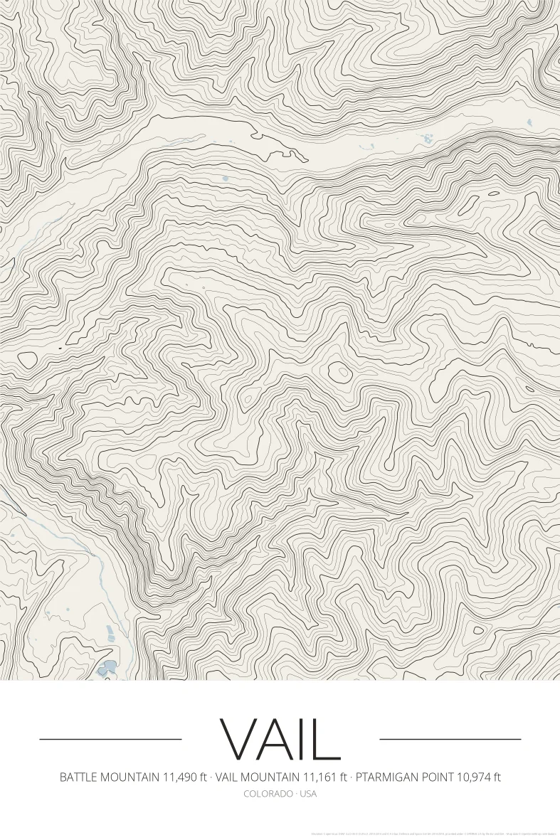
Vail Topographic Map Poster
Colorado
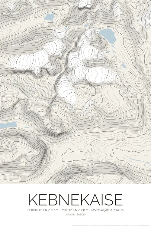
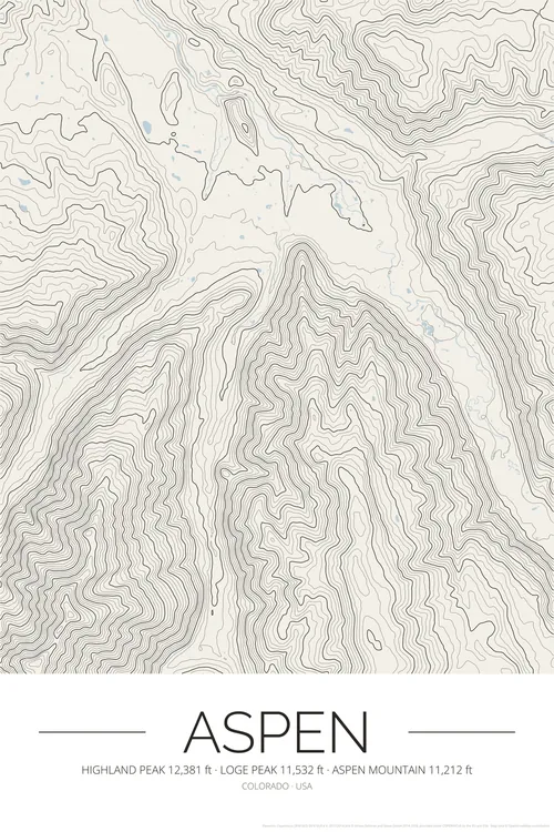
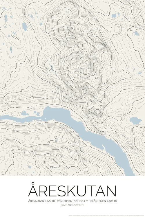
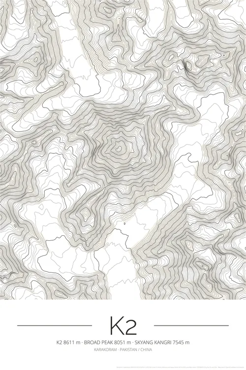
BuyA topographic contour map poster of Vail (Colorado, USA), drawn from satellite elevation data as fine contour lines, with the highest summits and their heights under the title.
What you get
- High-resolution PNG files: 300 DPI for 50 × 75 cm prints, 150 DPI and a web size
- Instant digital download from Etsy
- Print at home, at a local print shop or with an online service
- No physical item is shipped, and the frame is not included
Elevation data: Copernicus DEM (© DLR e.V. and Airbus, provided under COPERNICUS by the European Union and ESA). Map data © OpenStreetMap contributors.