Topographic Mountain Maps
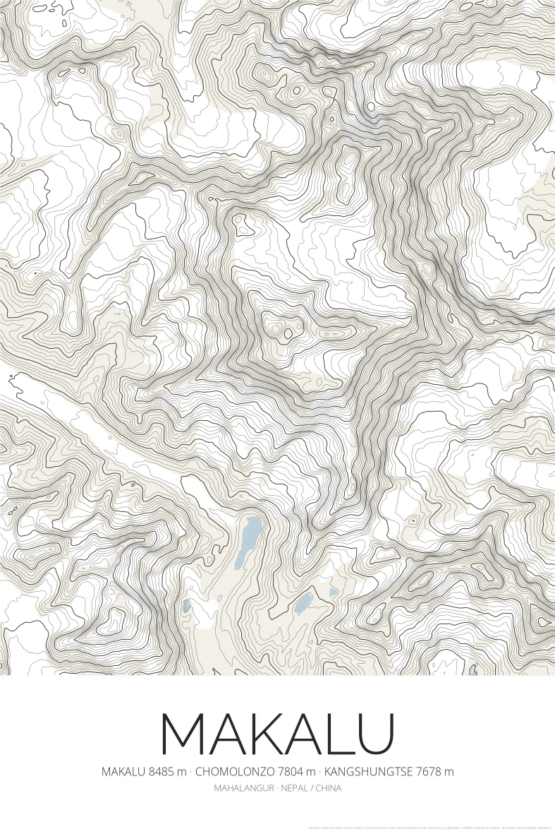
Makalu Topographic Map Poster
Mahalangur
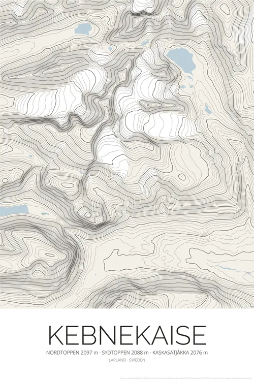
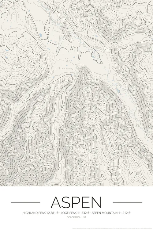
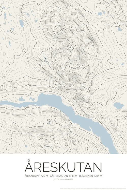
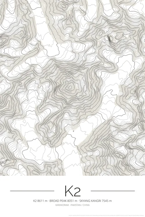
BuyA topographic contour map poster of Makalu (Mahalangur, Nepal / China), drawn from satellite elevation data as fine contour lines, with the highest summits and their heights under the title.
What you get
- High-resolution PNG files: 300 DPI for 50 × 75 cm prints, 150 DPI and a web size
- Instant digital download from Etsy
- Print at home, at a local print shop or with an online service
- No physical item is shipped, and the frame is not included
Elevation data: Copernicus DEM (© DLR e.V. and Airbus, provided under COPERNICUS by the European Union and ESA). Map data © OpenStreetMap contributors.